April 08, 2022
Summit County Boundaries
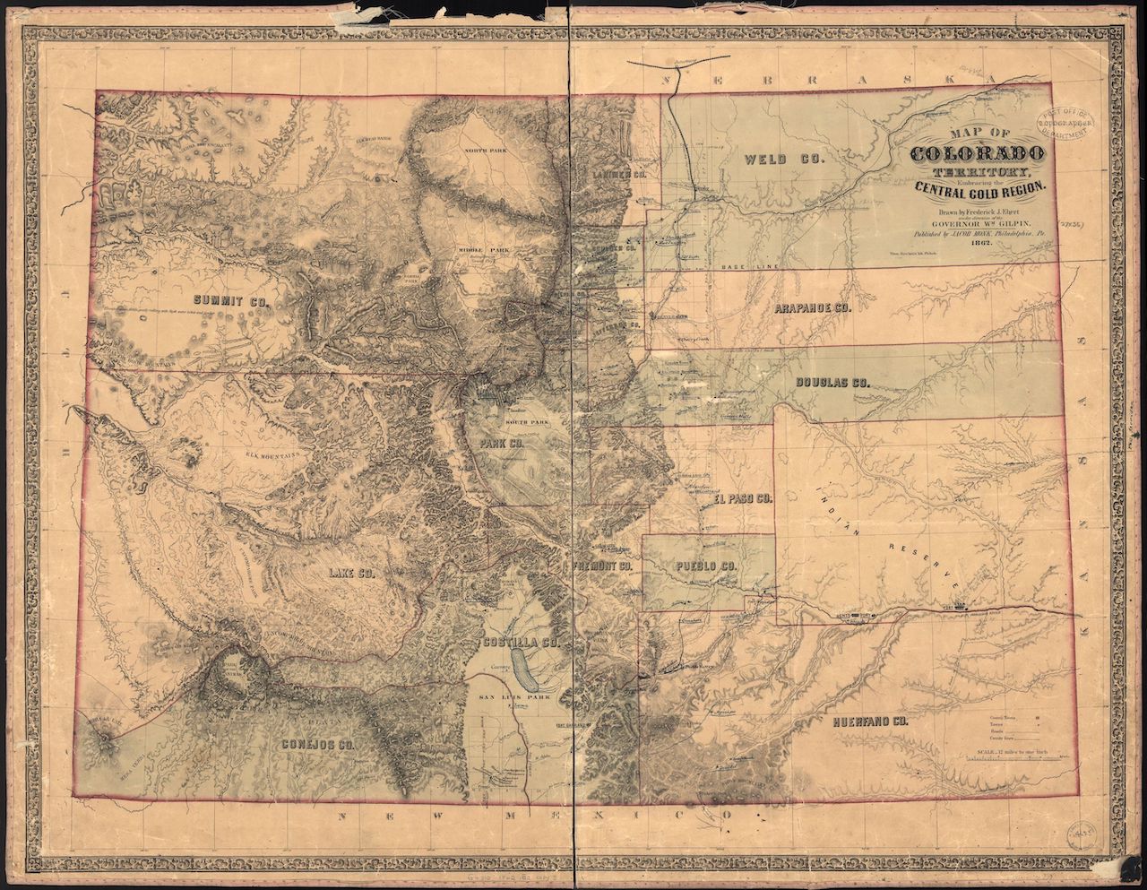
Prior to the creation of Colorado Territory, the land that became Colorado was divided among the territories of Kansas, Nebraska, New Mexico and Utah. Land west of the Continental Divide, including what became Summit County, belonged to Utah Territory. Colorado’s First Legislative Assembly approved legislation entitled ”An act to define county boundaries and to locate county seats in Colorado Territory,” on November 1, 1861. The act established the boundaries of Summit County as the Continental Divide on the east, Lake County on the south and, on the north and west, the territorial boundaries.

Street Layout of Breckenridge
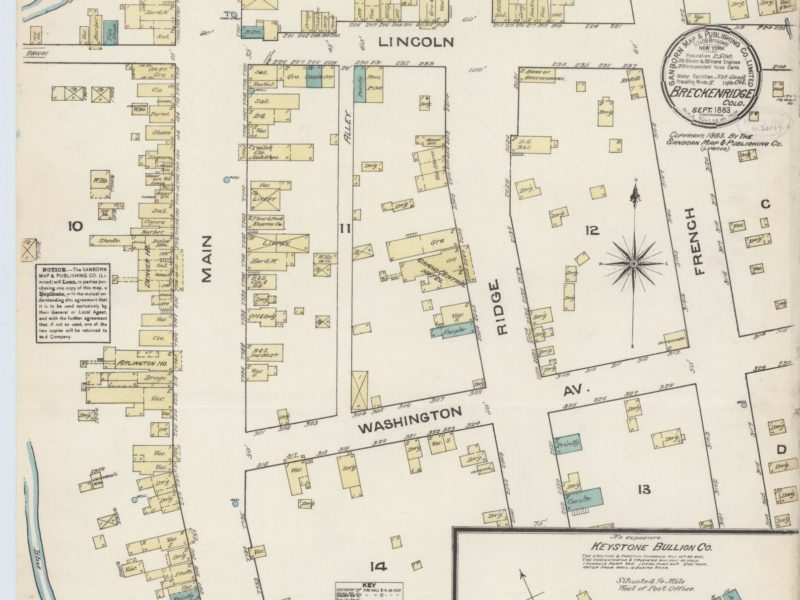
Not long after prospectors found gold in what is now Summit County, mining camps blossomed along the waterways and gulches. Similar in appearance, they showed little planning or organization. Selecting a spot near wood and water, they placed their tents and crude log cabins haphazardly on or near claims. Only later, when claims had to be surveyed, did any semblance of order or organization develop. A main street, nothing more than a pathway through stumps and boulders lined with tents and rectangular buildings sporting false fronts advertising food, clothing, drink or supplies, appeared.


